Meanwhile, the weather front is expected to bring rain and “a low risk” of thunderstorms to western parts of the North Island from Taranaki northwards overnight, a MetService watch issued this morning warns.
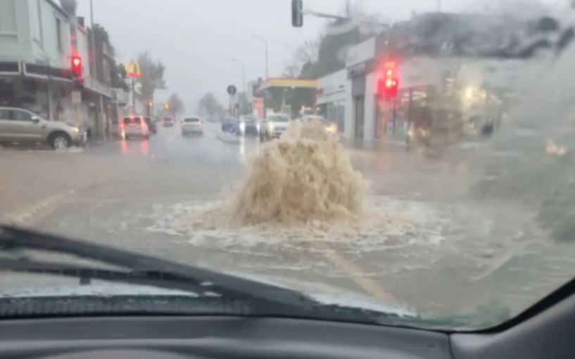
“Although the risk of thunderstorms is low, the risk of localised downpours occurring in this area is considered moderate. If they occur, downpours would likely produce rainfall rates of 25 to 40mm/h.
“Rainfall of this intensity can cause surface and/or flash flooding, especially about low-lying areas such as streams, rivers or narrow valleys, and may also lead to slips.”
The watch covers Northland, Auckland, Waikato, Waitomo and Taranaki.
Amid the warnings, Auckland Emergency Management has warned those in the Auckland region to be prepared for the impacts of the pending weather.
Severe thunderstorms could hit the region from 5pm today through to 6am Tuesday.
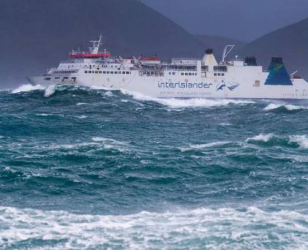
MetService has lifted several heavy rain and strong wind watches and warnings, noting that the risk of severe gales in areas like Wellington and Marlborough has diminished.
The West Coast of the South Island bore the worst of the rough weather last night and early this morning.
A front from the Tasman Sea is bringing rain this morning to Taranaki and the Kāpiti Coast, particularly around the ranges, where weather watches are in place.
“As morning turns to evening, rain will spread elsewhere, falling in many parts of the North Island,” MetService said.